Cycling
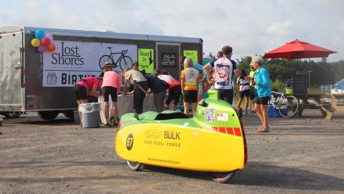
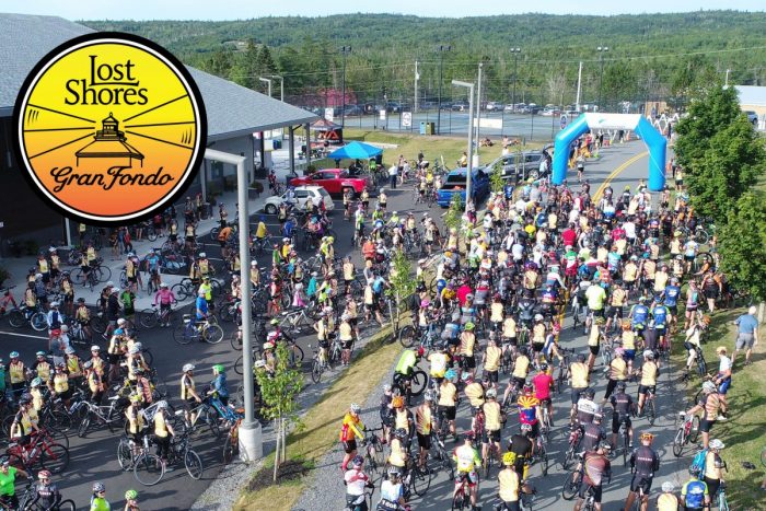
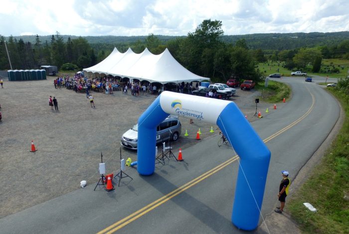
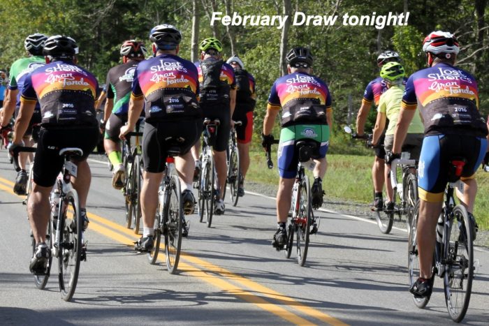
We held 7 cycling events from 2016 to 2023 as a means to promote our hidden paradise. The idea was unimaginable in an area with no local cyclists and most participants had never visited this part of Nova Scotia. The first 3 events were the more elaborate Lost Shores Gran Fondo format with a modest sponsorship by the local municipality. Municipal staff had a rather medieval approach to volunteer appreciation so we had to drop them as a sponsor and change our format. The last 4 events were Lost Shores Birthday Rides sponsored by local businesses and offered free admission to anyone with a birthday that year with cake and ice cream waiting at the finish.
At the peak in 2018, we had almost 500 cyclists attend and were the largest event in Guysborough history and the 2nd largest cycling event in Nova Scotia. We remain amazed that the municipality would not want that to continue. Anyways, we adjusted and continued. The weather gods were always kind and gave us near ideal weather every single year and we never had a serious incident. That seemed like a good ending so in 2024 we called it a day for cycling events. We are incredibly grateful to all the sponsors and the army of volunteers who made every event so warm and friendly to all our visitors.
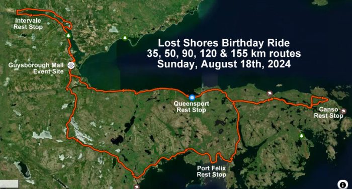
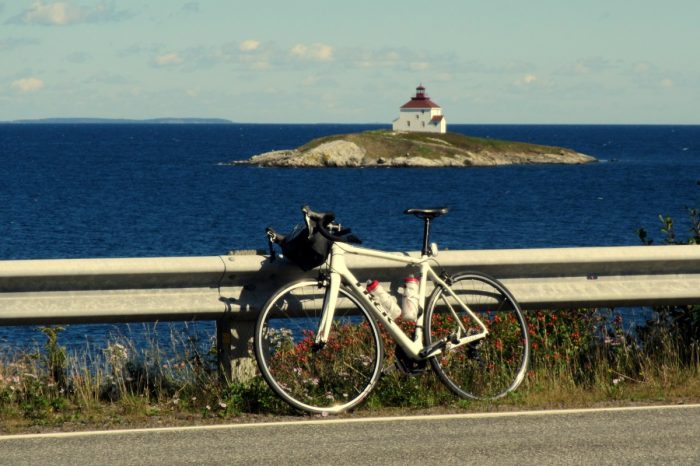
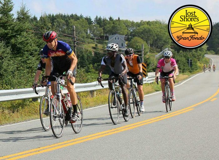
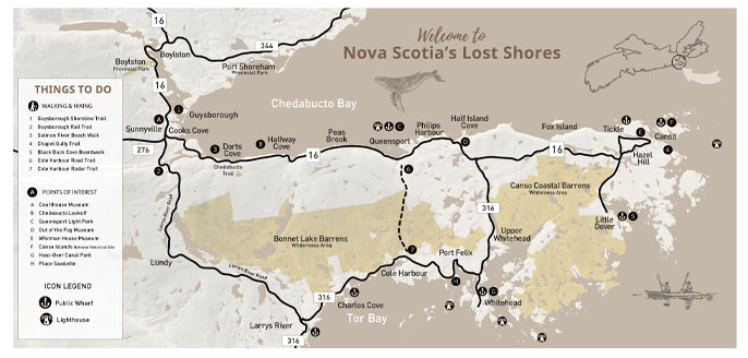
35, 50, 90, 120 km and 155 km routes await your arrival, all low traffic with stunning oceanfront scenery. Expect rolling hills, lots of them. The 35 km Intervale Loop is a less challenging route with with minimal hills and minimal traffic. All routes detail are shown below.
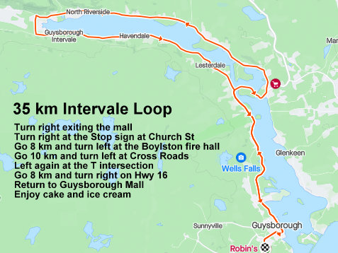
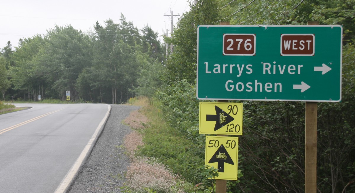
Here are the routes in downloadable GPX format.
| Strava Link | Elevation Gain | |
| 35 km Intervale Loop | 35 km Intervale Loop | 34.4 km Cycling Route on Strava | 238 |
| 50 km Queensport Light | 50 km Queensport Light Out ‘n Back | 45.7 km Cycling Route on Strava | 557 m |
| 90 km Lost Shores Loop | 90 km Lost Shores Loop | 87.8 km Cycling Route on Strava | 872 m |
| 120 km Tickle Loop | 120 km Tickle Loop | 121.3 km Cycling Route on Strava | 1094 m |
| 155 km Whole Enchilada | 155 km | 155.7 km Cycling Route on Strava | 1400 m |
| Fear and Loathing Hill Climb | Fear & Loathing in Lost Shores Hill Climb | Strava Ride Segment in Guysborough, Nova Scotia, Canada | 71 m |
| RidewithGPS Link | Elevation Gain | |
| 35 km Intervale Loop | https://ridewithgps.com/routes/33030016 | 238 m |
| 50 km Queensport Light | https://ridewithgps.com/routes/29351749 | 557 m |
| 90 km Lost Shores Loop | https://ridewithgps.com/routes/29351772 | 872 m |
| 120 km Tickle Loop | https://ridewithgps.com/routes/29351789 | 1094 m |
| Fear and Loathing Hill Climb | https://ridewithgps.com/routes/31790971 | 79 m |
Getting Here
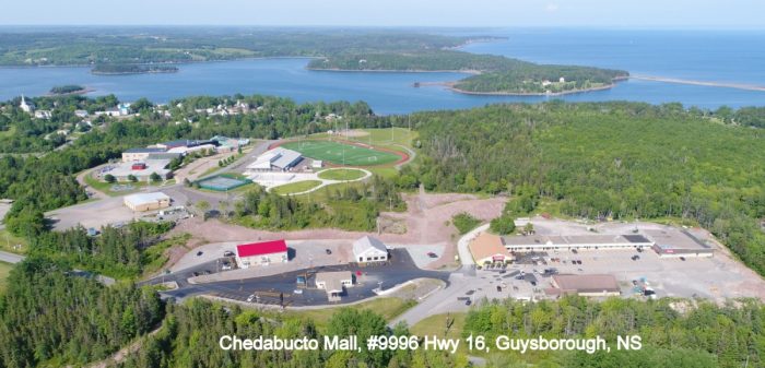
Take the Trans Canada 104 to exit 37. As you get off the highway from either direction, turn left at the stop sign and take Highway 4 for 1.5 km and turn right onto Highway 16 just before the railway tracks. Take Highway 16 for 30 km through Lincolnville and Boylston and you’ll find yourself in Guysborough. Highway 16 does a bit of a zigzag with 2 rights and then a left at the Courthouse Museum and Guysborough Mall is just ahead around the bend on your left, civic number #9996 Highway 16.
Where to Stay
Overnight parking is free at the Guysborough Mall and municipal parks in Dorts Cove and Queensport. There is also camping available nearby at Boylston Provincial Park or down the shore at Seabreeze Campground in Fox Island.
For lodgings, try www.visitguysborough.ca or https://www.airbnb.com/s/Guysborough–Canada.
Food and Beverage
- Robins Gas is open 6 am to 9 pm every day with coffee, breakfast and light lunches.
- Independent grocery store at Chedabucto Mall offers a decent deli section
- Big G’s Pizza on Main St offers eat in or take-out. 902-533-1886, https://www.biggspizza.ca/
- Castaways at the Guysborough waterfront offers light fare and good burgers.
- Harts Store on Hwy 16 in Boylston has sandwiches and more.
Got Questions?
Email rob@lostshores.ca

You must be logged in to post a comment.